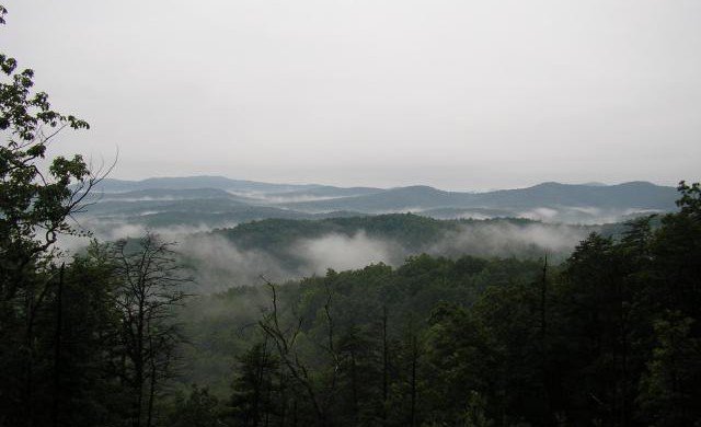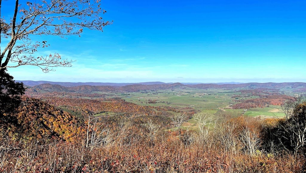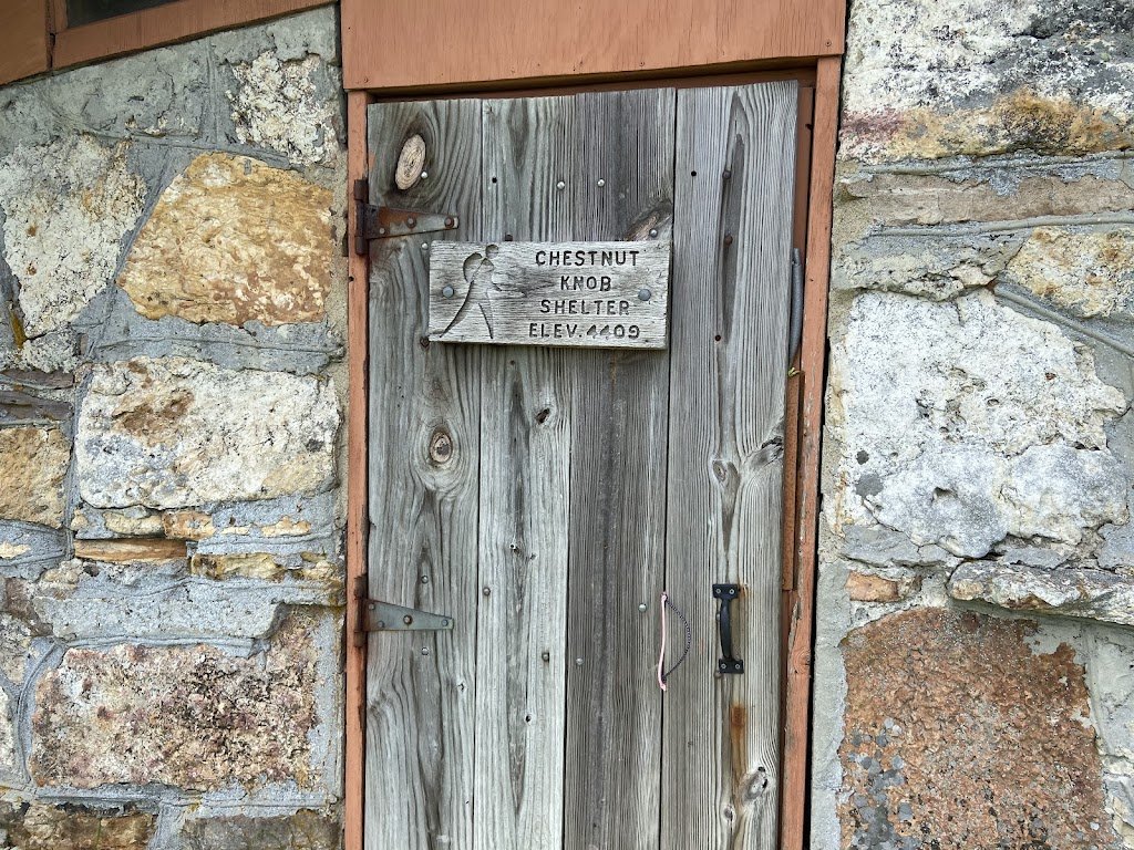
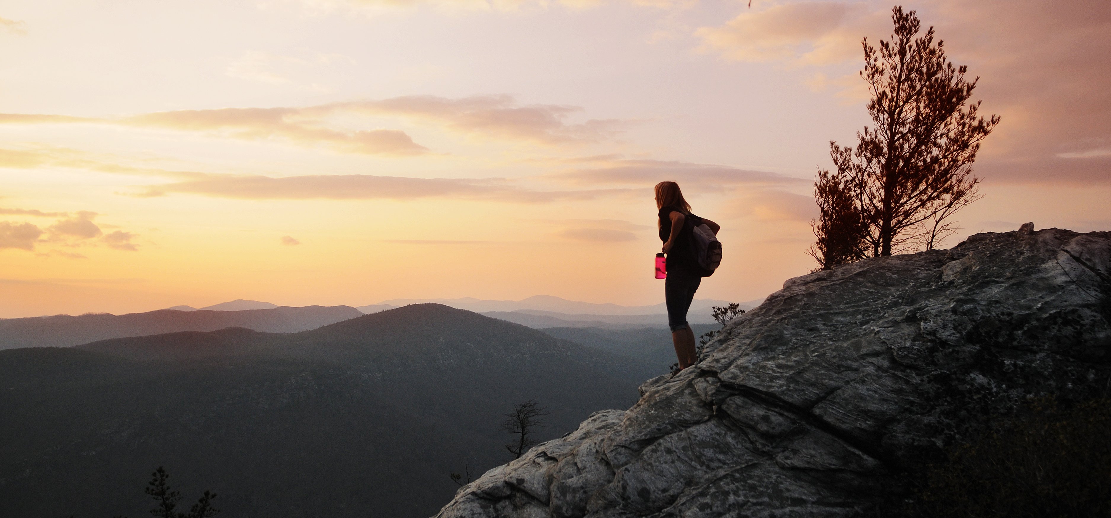
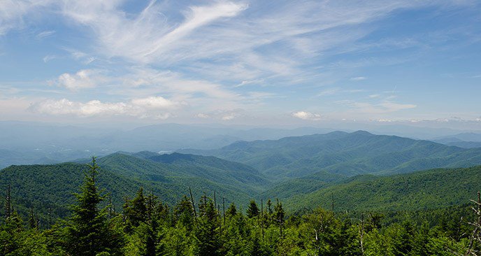
Steep wooded trail with views of High Shoals Falls and extraordinary mountain views. Strenuous climb reaching 900 ft. Four miles round trip. (Lat:35.60106 Lon:-81.63342) Pick up a map at the ranger station. Follow HQ trail away from the parking area. After you pass the amphitheater on the left, look for Chestnut Knob trail on the right. Follow Chestnut Knob Trail for half a mile to the Jacob Fork River Gorge Overlook. Note: This first half mile is the steepest and most strenuous section of this trail. At the trail junction with a hiker sign and arrow, turn left and follow the trail to an exposed rock outcrop. Be careful here! Watch your footing! Return back to the parking area along the same route. Trailhead: The trailhead is located in the Jacob Fork Parking Area at South Mountains State Park. From Morganton, NC, take exit 105 on I-40 and follow the brown and white signs to the park. The park is approximately 20 miles south of I-40. Once you enter the park, drive to the end of the road to the Ranger Station and Jacob Fork Parking Area.Summary: First, pick up a map at the ranger station. Follow HQ trail away from the parking area. After you pass the amphitheater on the left, look for Chestnut Knob trail on the right. Follow Chestnut Knob Trail for half a mile to the Jacob Fork River Gorge Overlook. Note: This first half mile is the steepest and most strenuous section of this trail. From this overlook you have nice distant views of the 80 ft. High Shoals Falls. Return to the main trail and walk until you come to a T-intersection. Turn left towards the Chestnut Knob Overlook. At the trail junction with a hiker sign and arrow, turn left and follow the trail to an exposed rock outcrop. Be careful here! Watch your footing! Return back to the parking area along the same route.
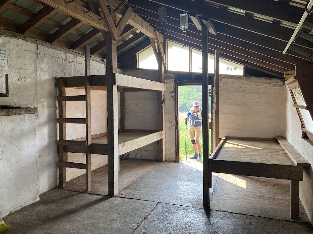
Chestnut Knob Trail
| Categories | Hiking Parks And Forests |
| Website | http://theadventurerr.com/chestnut-knob-hike/Visit Website |
| Town | Connelly Springs |
| Pet Friendly | Yes |